Emergency response 3D GIS
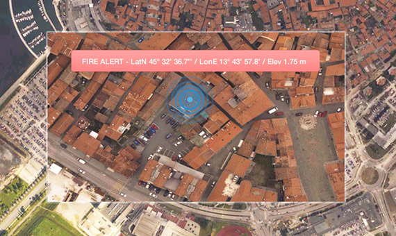
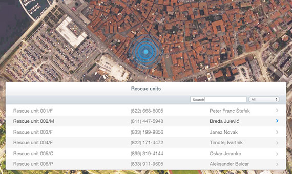
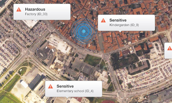
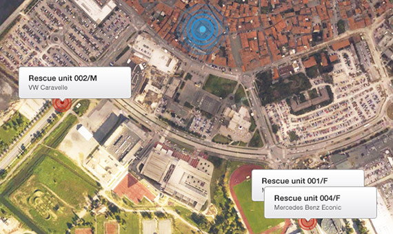
3D GIS is an essential emergency response tool. It helps emergency operators to act quickly and provides them vital information when and where it is needed. In the end, all that matters is to save lives.
3D GIS is an essential emergency response tool. It helps emergency operators to act quickly and provides them vital information when and where it is needed. In the end, all that matters is to save lives.
3D GIS is an essential emergency response tool. It helps emergency operators to act quickly and provides them vital information when and where it is needed. In the end, all that matters is to save lives.
Faster and more reliable rescue operation guidance.
Vitally important information right when and where it is needed.
Better assessment of the emergency demands.
Lead the “Missing person” search action in an unprecedented quality.
We use Gaea+ tools as rescue support even in most demanding situations. Gaea+ enables us simply perform tasks for which we before spent much more time.


