Online public GIS
Informing and serving the general public in relation to spatial plans can be time consuming for authorities and unpleasant for citizens. Our solution relieves authorities and creates superb experience for citizens to visualize their future surroundings.
Informing and serving the general public in relation to spatial plans can be time consuming for authorities and unpleasant for citizens. Our solution relieves authorities and creates superb experience for citizens to visualize their future surroundings.
Informing and serving the general public in relation to spatial plans can be time consuming for authorities and unpleasant for citizens. Our solution relieves authorities and creates superb experience for citizens to visualize their future surroundings.
Decrease the time spent on manually serving general public with information about spatial planning.
Improve satisfaction of general public with executed projects.
Information about the environment is accessible online and on demand.
Relieve responsible authorities of constantly providing spatial data manually.
Inform the general public
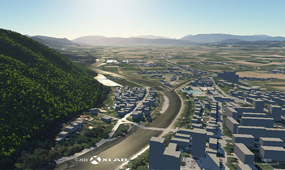
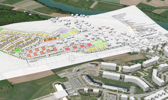
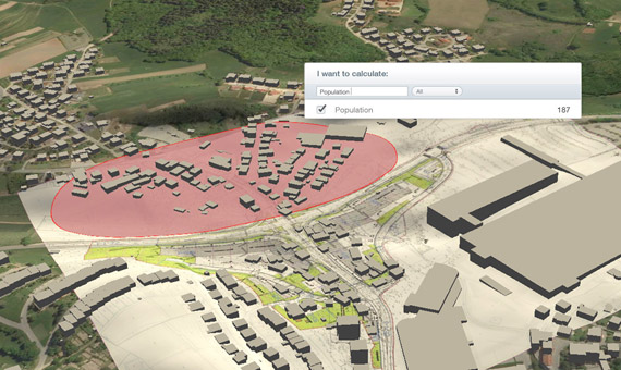
Gaea+ Online GIS is an easy and efficient tool for informing the general public about future spatial planning. Because of intuitively presented plans in realistic environment the general public understands future plans better. This lowers the possibility for later dissatisfaction.
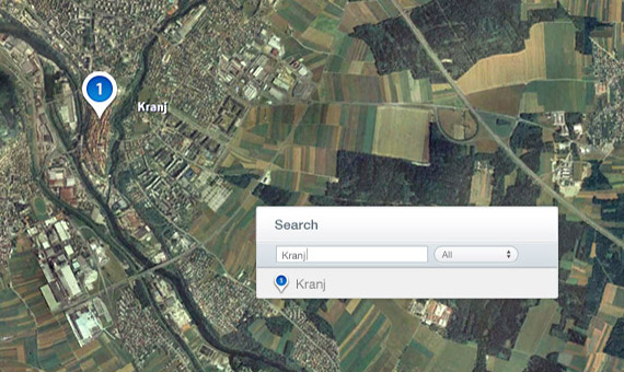
Slovenian Municipalities and Association of Municipalities and towns of Slovenia employees are very satisfied with the Gaea+ tools. It is simple to use and enables users to perform various tasks, such as finding a way to any building in the municipality as well finding any contact information. And all this in 3D form.


